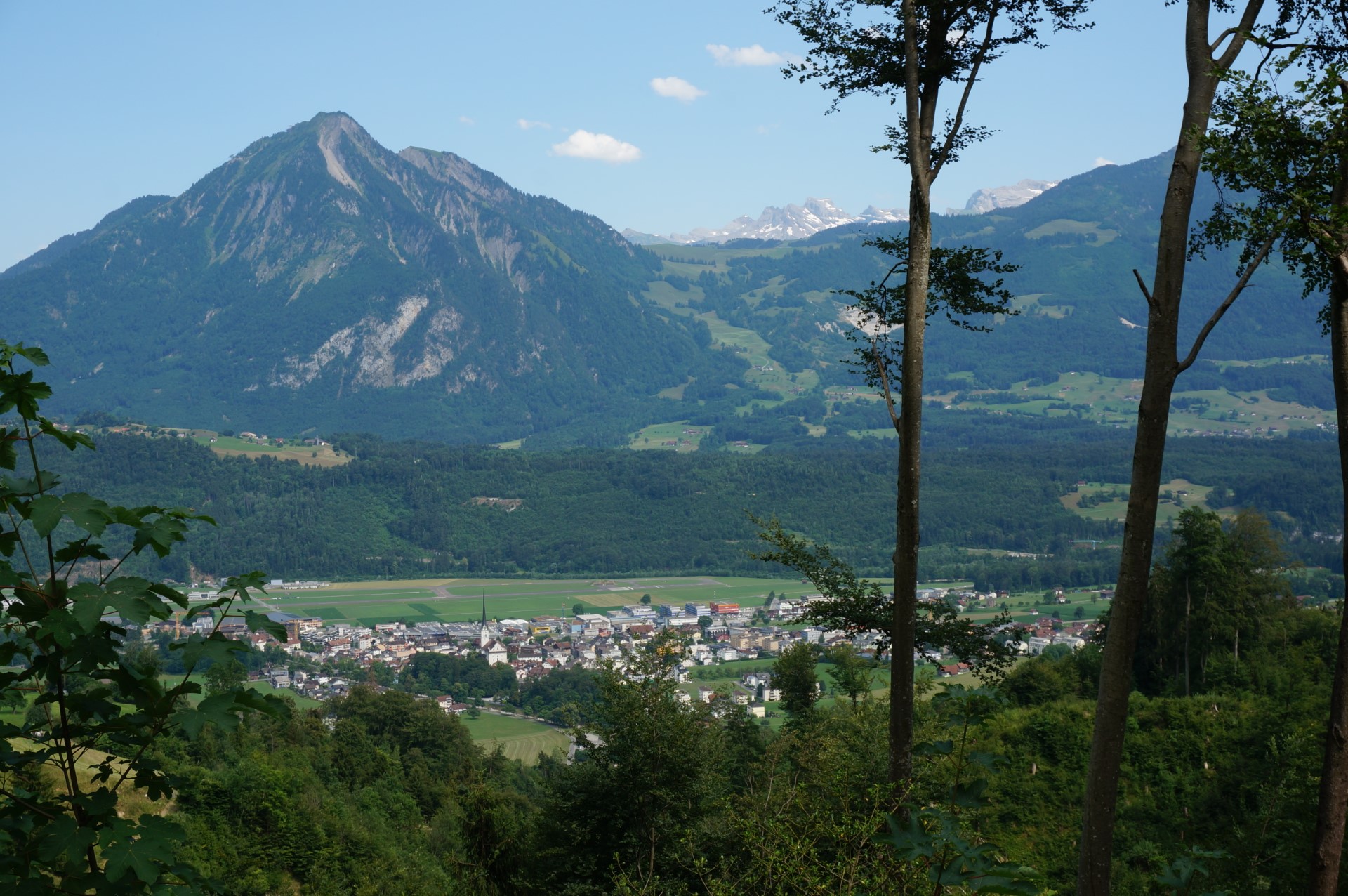
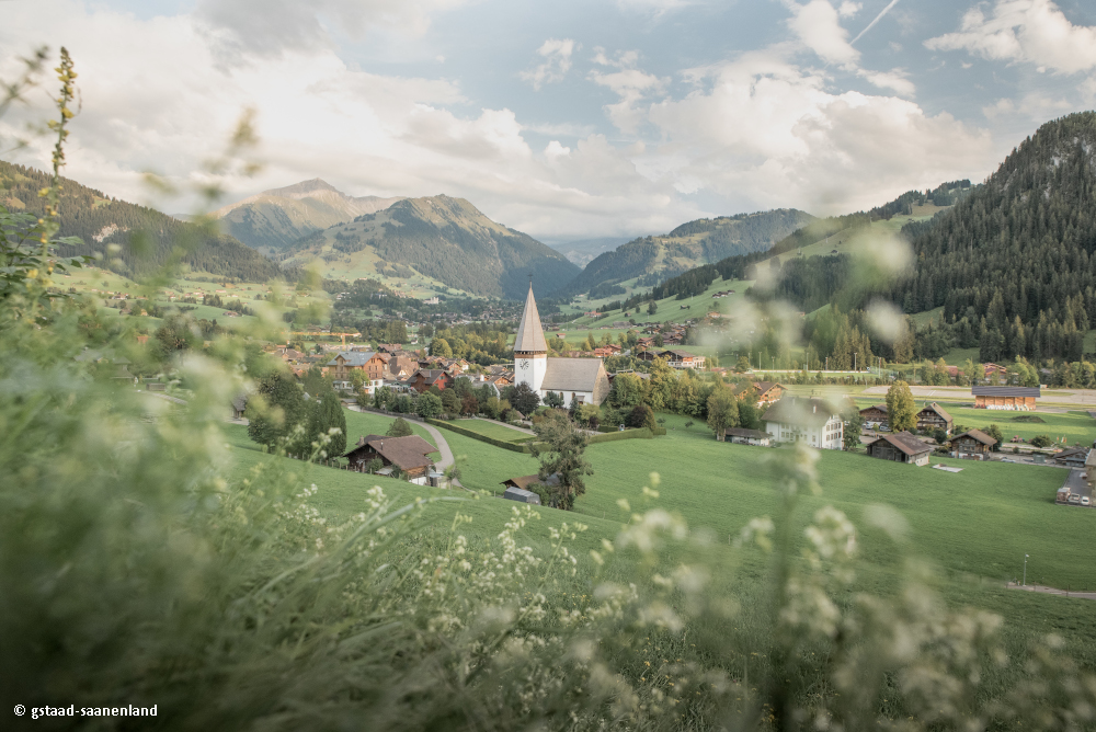
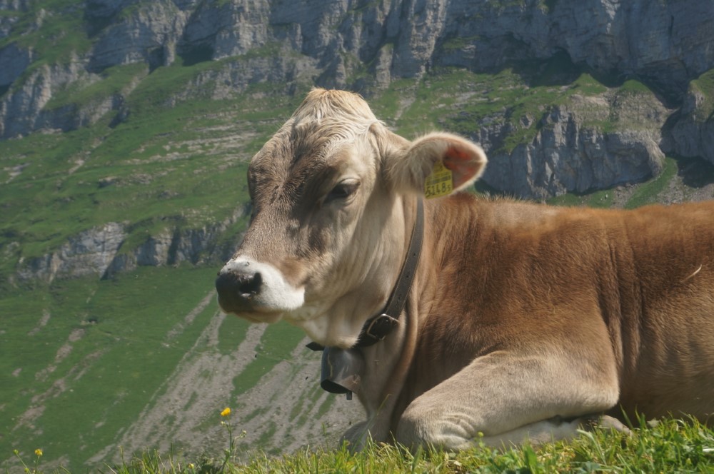
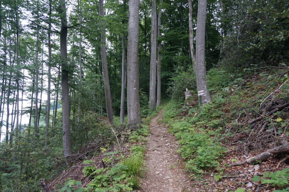
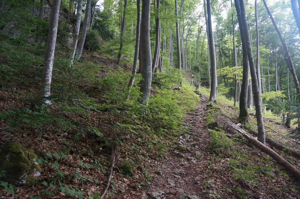
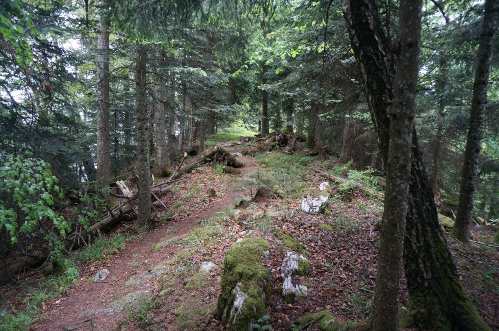
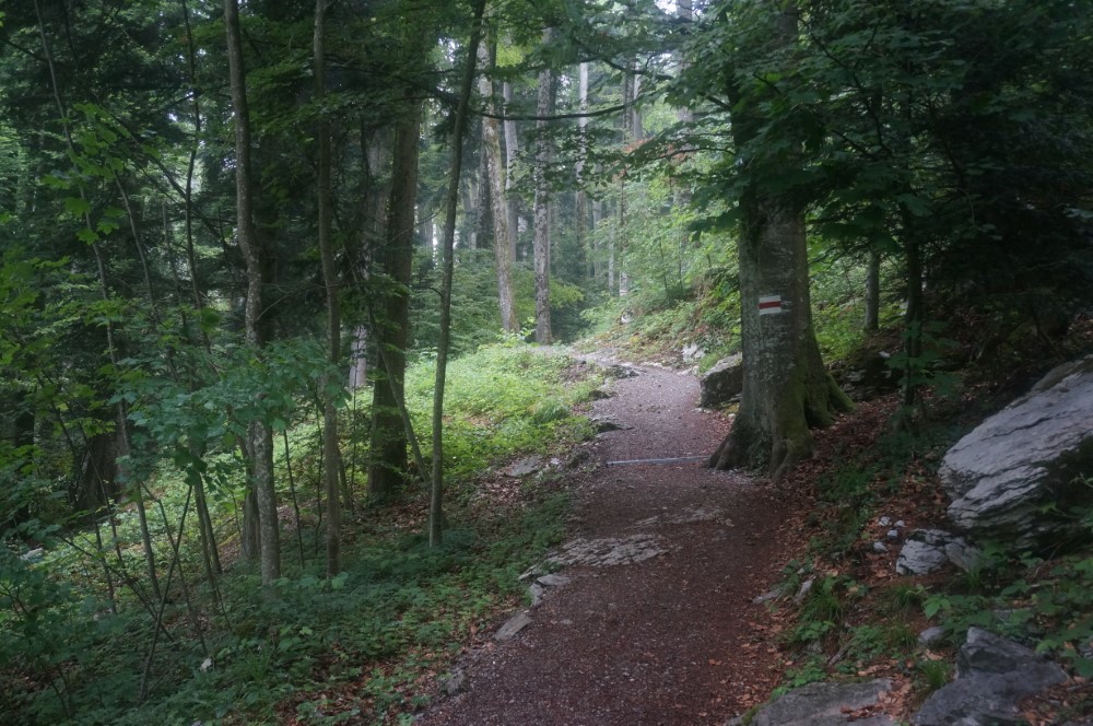
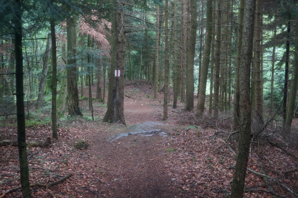
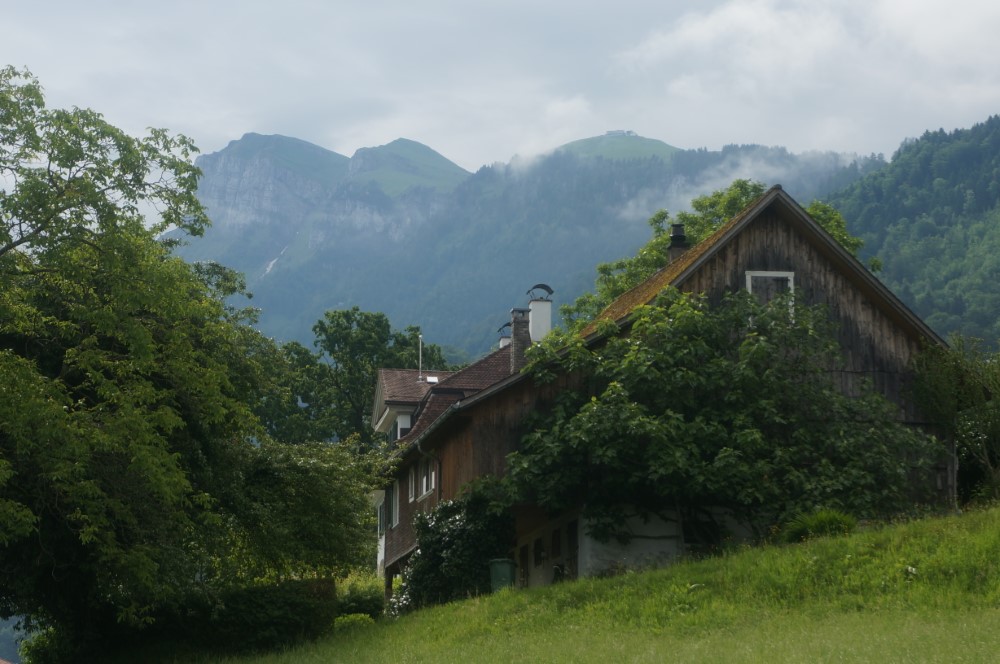
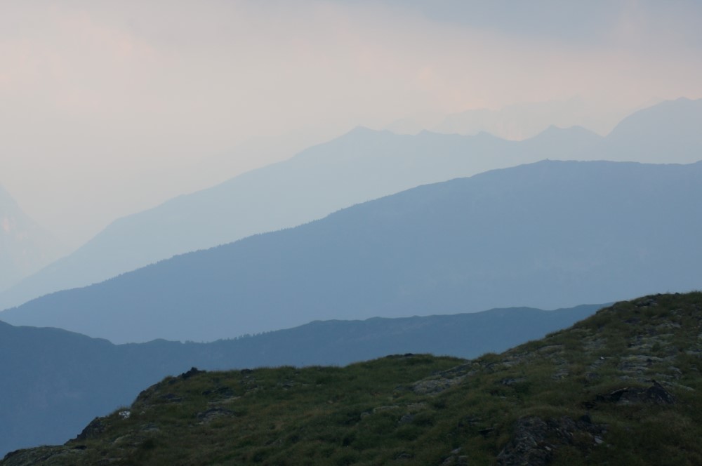
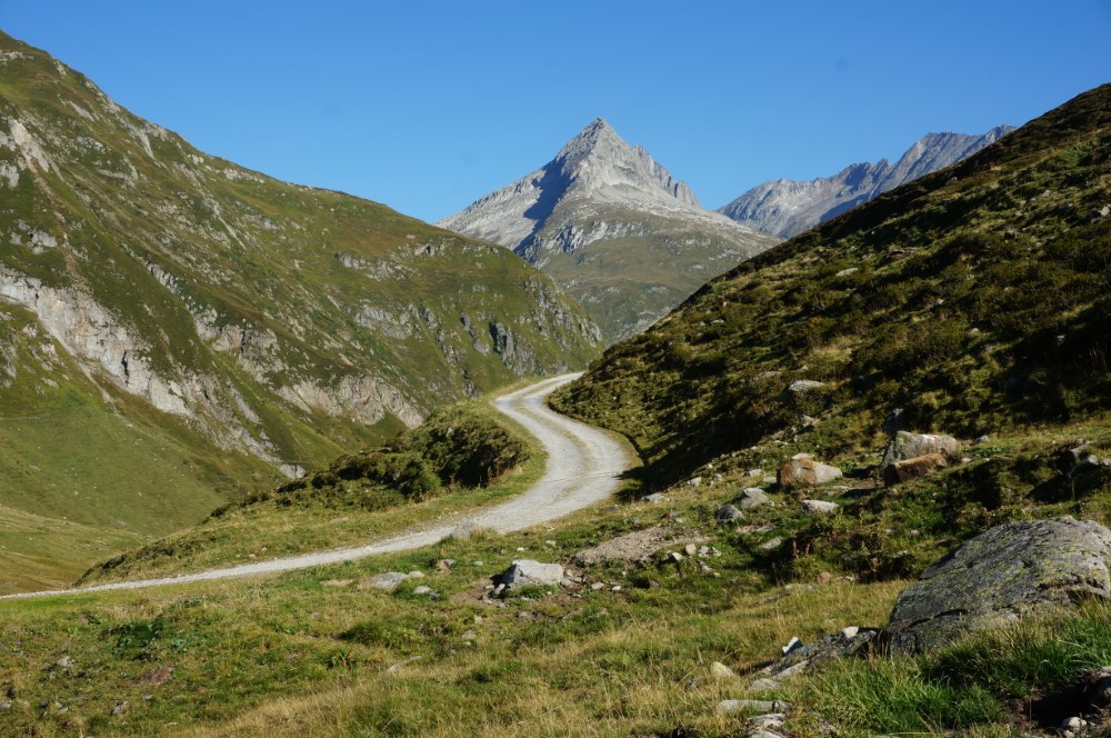
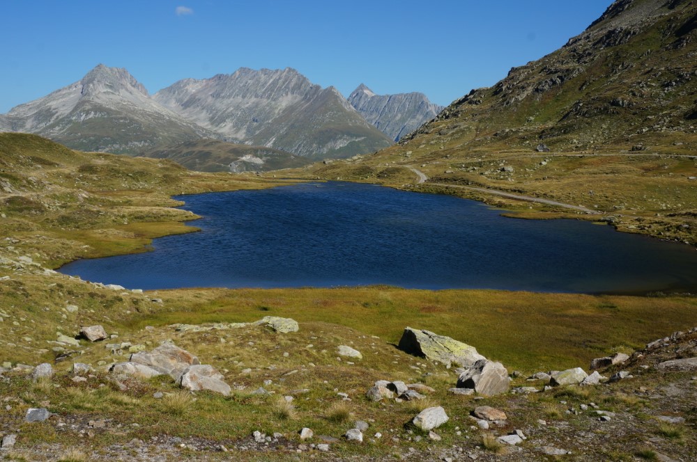
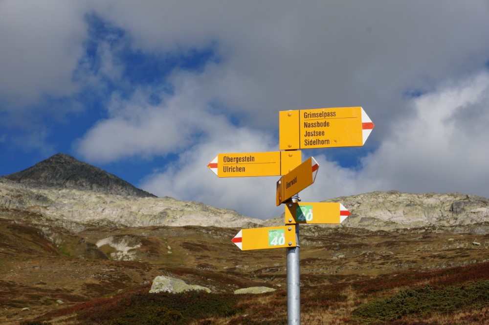
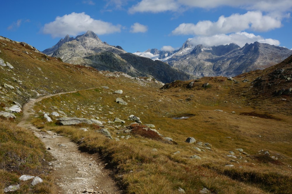
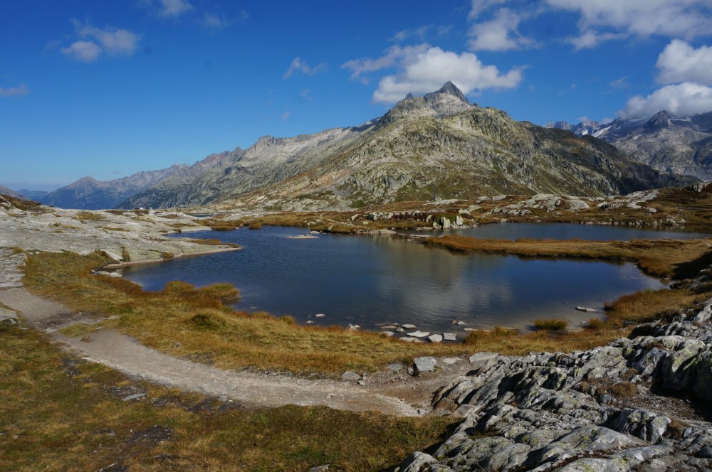
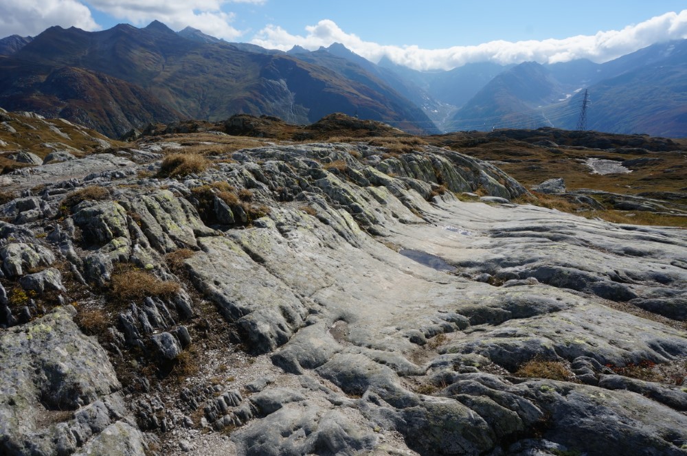
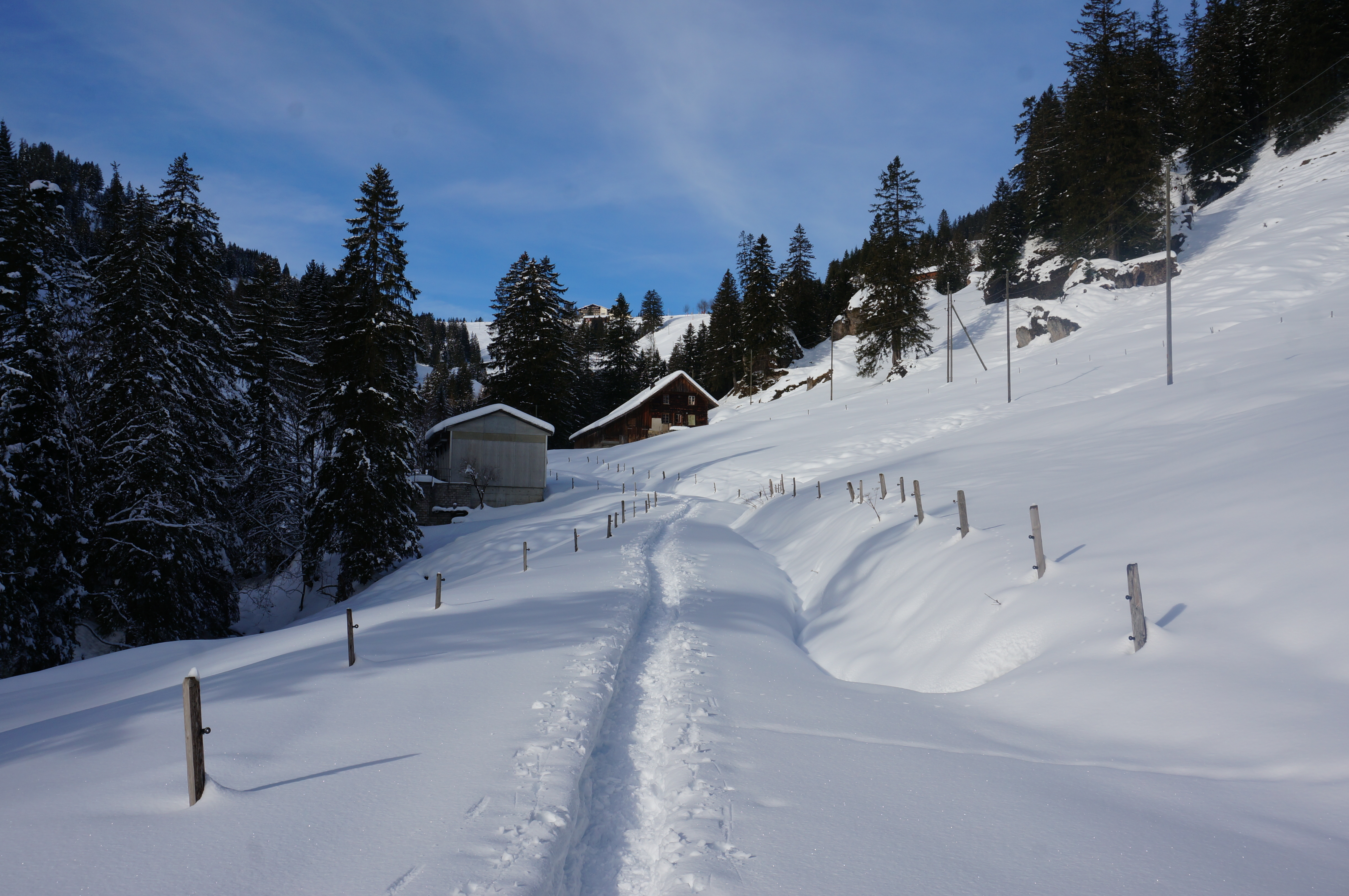
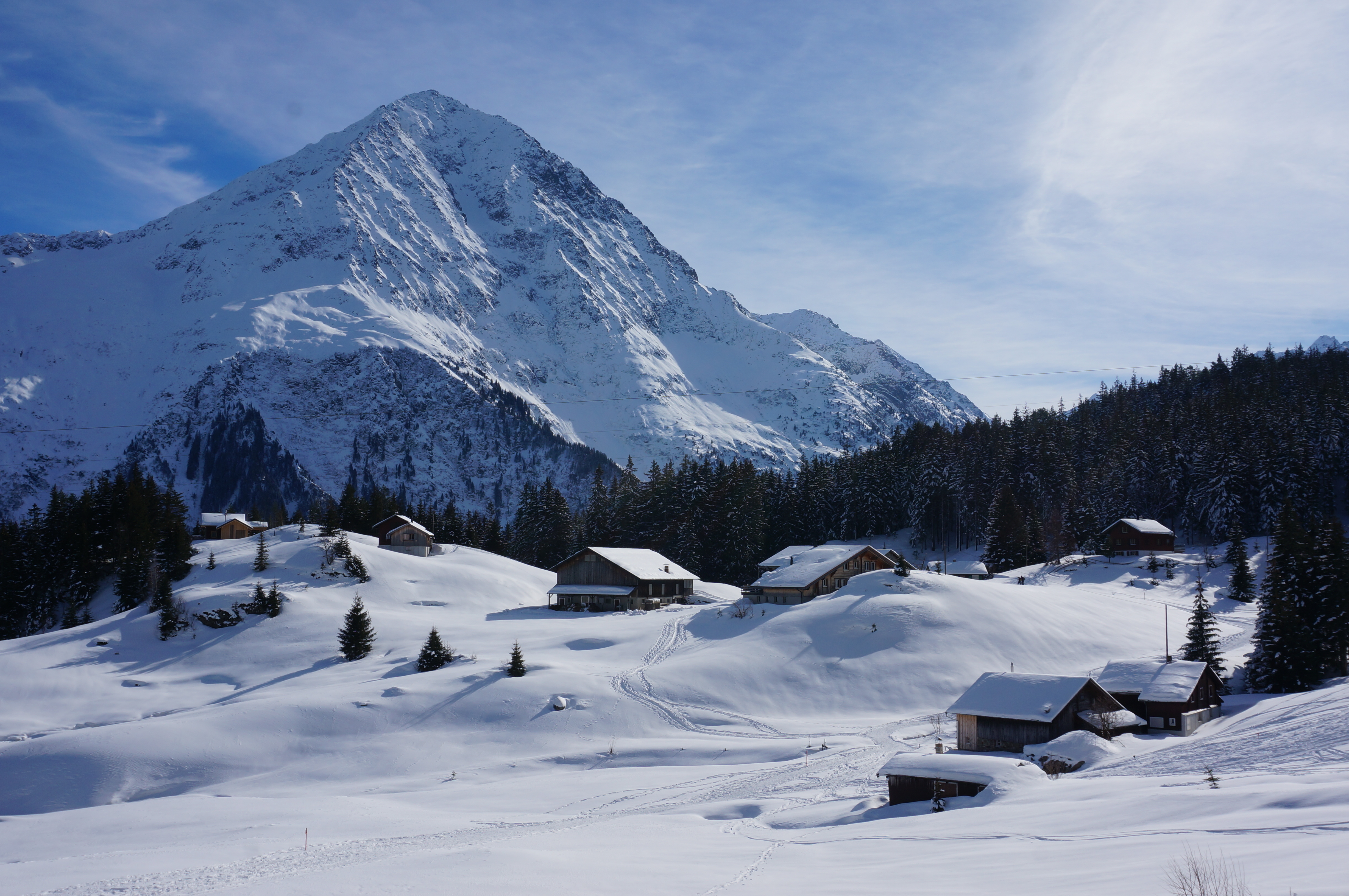
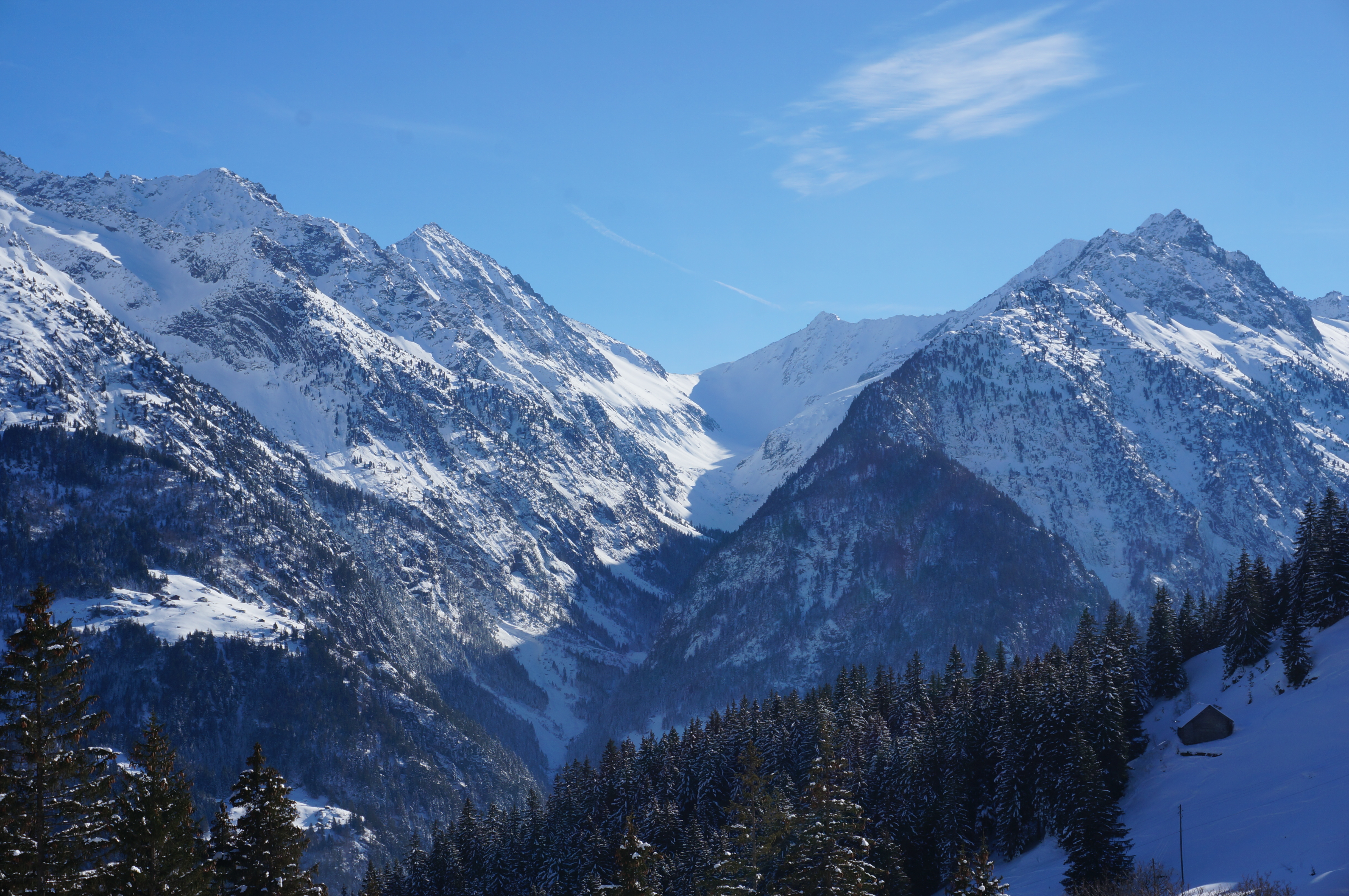
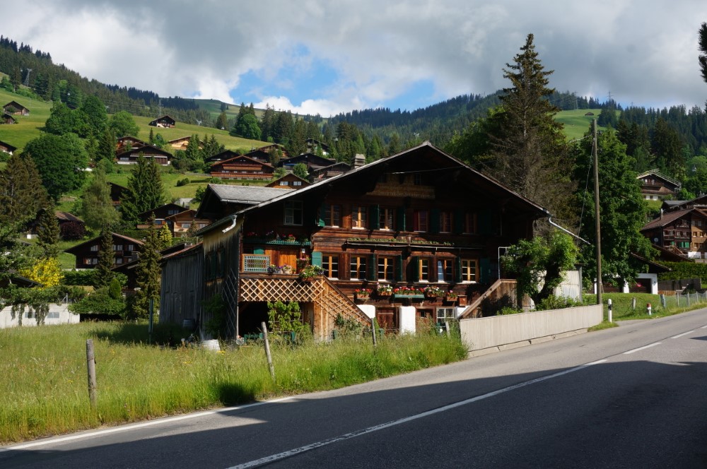
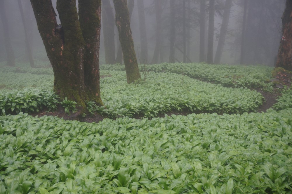
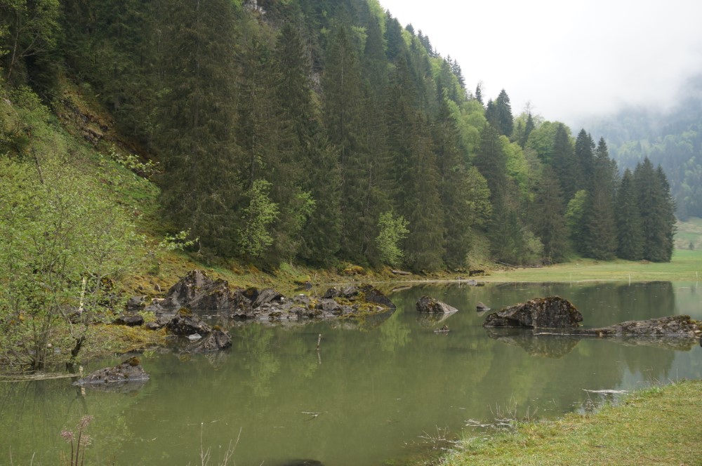
The following 8 easy and 6 moderate day hikes are located in the foothills of the Alps in Central Switzerland.
Hikeandtrek's 1-day hiking suggestions:
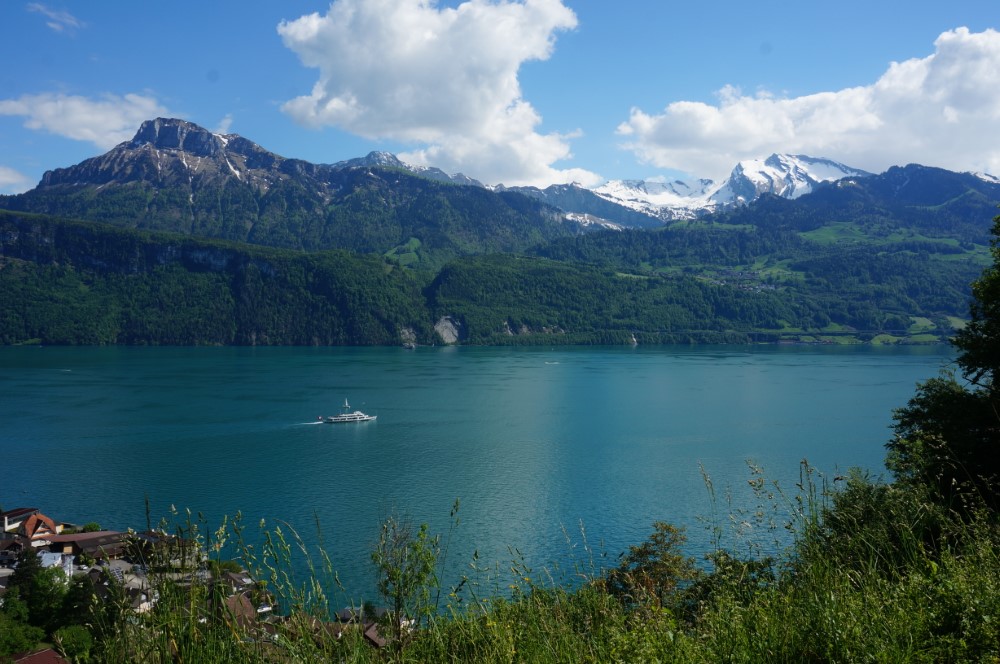
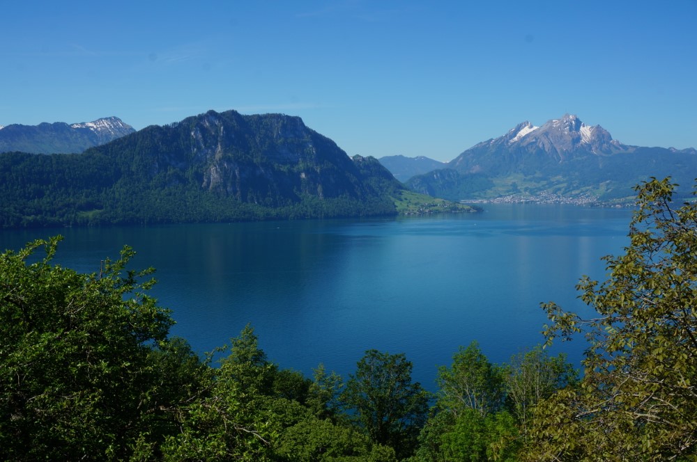
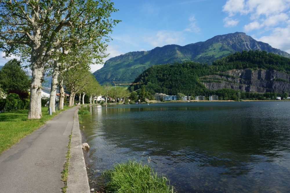
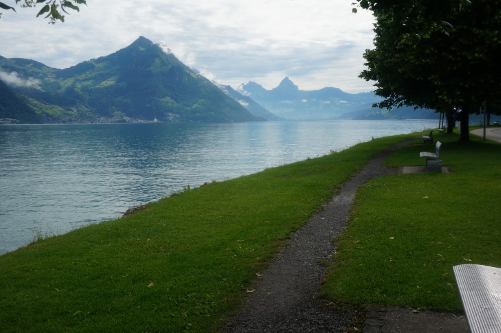
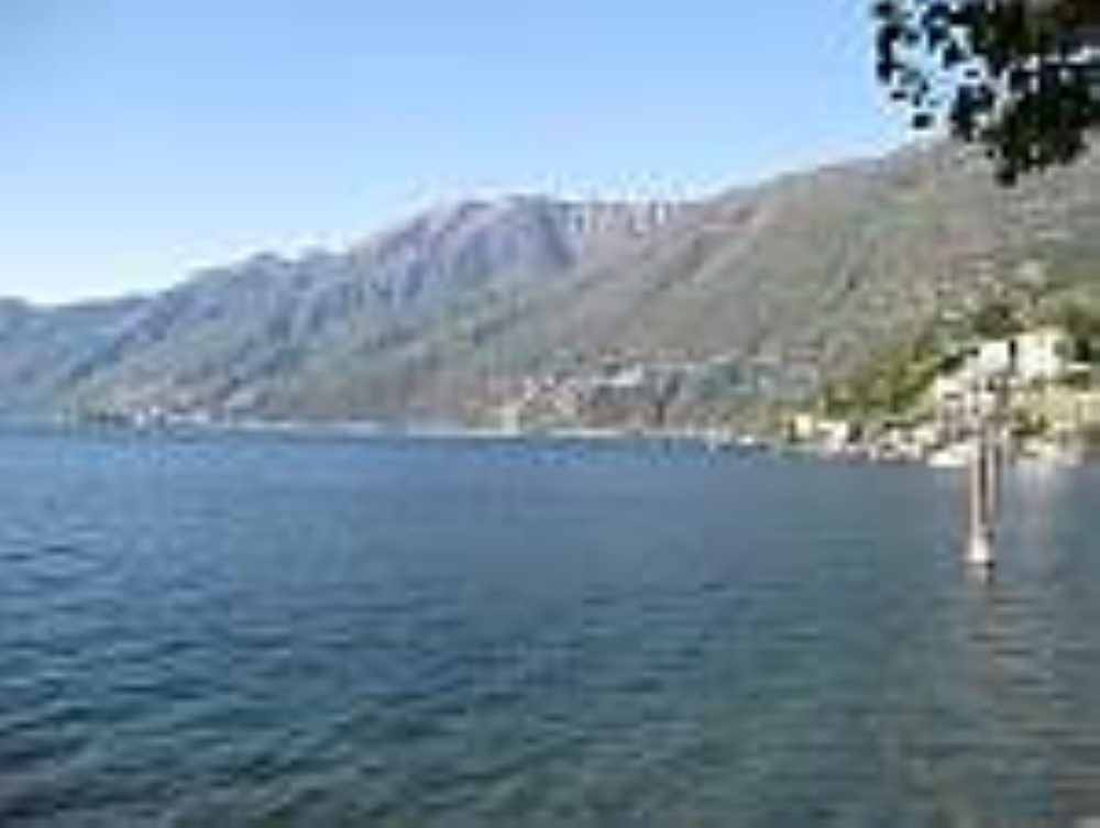
Waldstätterweg:
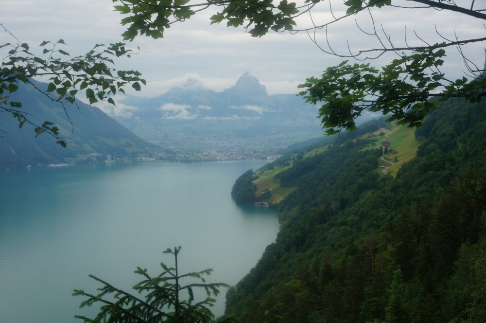
On the Waldstätterweg we‘ll hike along Lake Lucerne from Brunnen to Rütlin in seven charming daily stages. Depending on your wishes, you can choose from any one of the seven stages.
Bürgenstock:
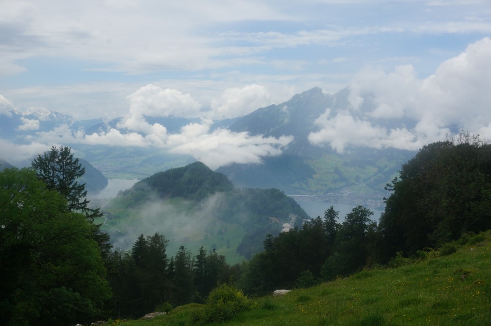
A spectacular hike leads us from the Bürgenstock Hotel along the cliff path with a sensational view of the Rigi and several lakes. The Hammetschwand lift will takes us comfortably to the Hammetschwand summits vantage point and the mountain restaurant at the end of the cliff path. The way back will lead us over the beautiful alpine pastures and forest paths. The route in the opposite direction is also possible. Hiking time: 3.5 hrs
Schwalmis:
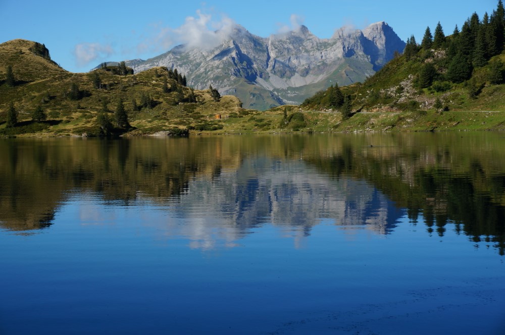
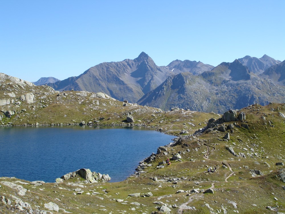
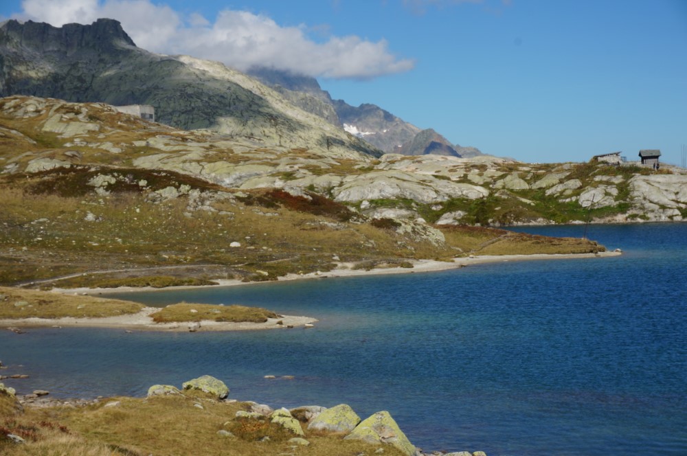
From Beckenried we’ll take the cable car to Klewenalp (1600 m) and hike up to Schwalmis in 2. 5 hours. On the crest of the summit (2300 m) you can enjoy an unforgettable view of LakeLucerne, in the north and the Urner Alps with their snow-covered peaks in the south. Hiking time: 4-5hrs.
Jochpass:
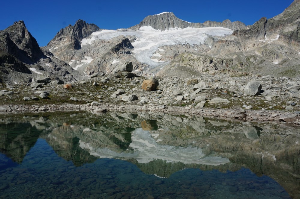
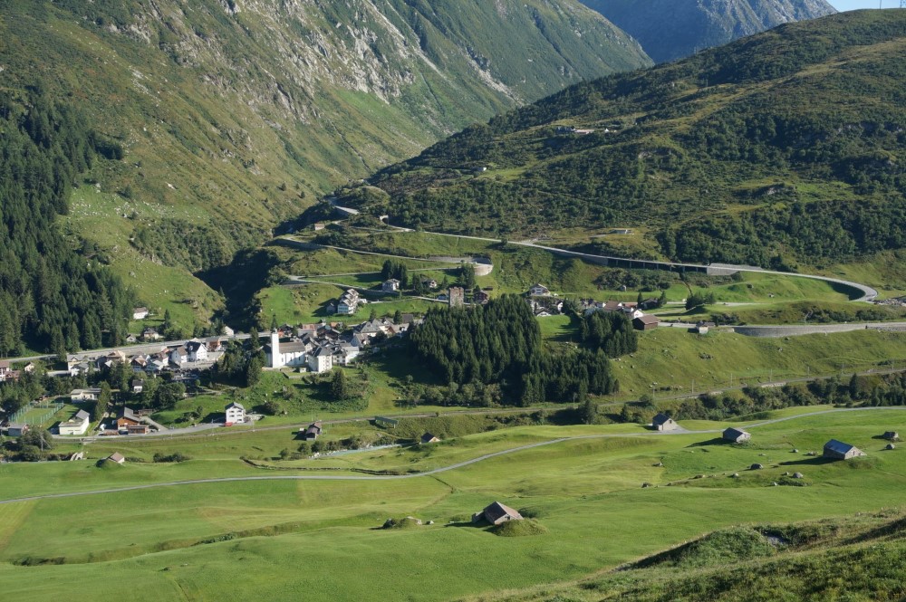
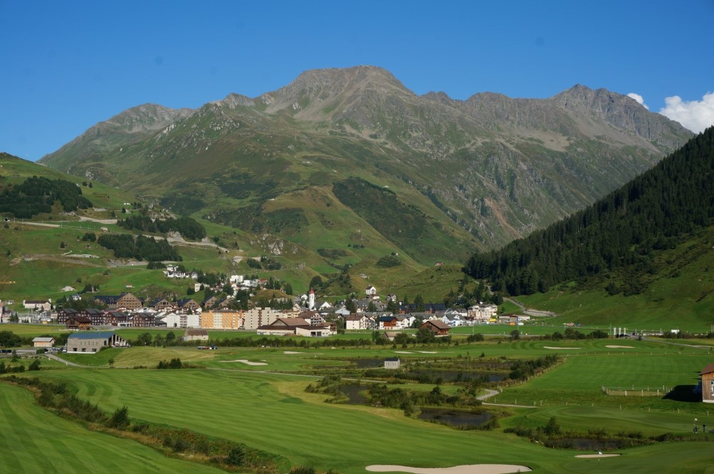
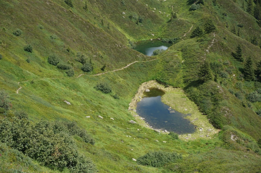
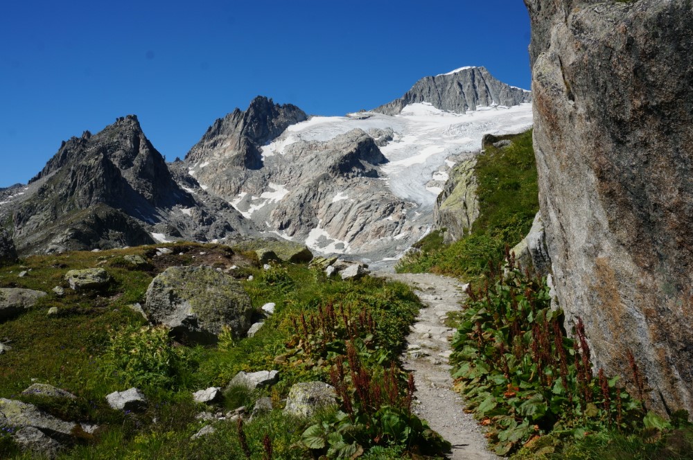
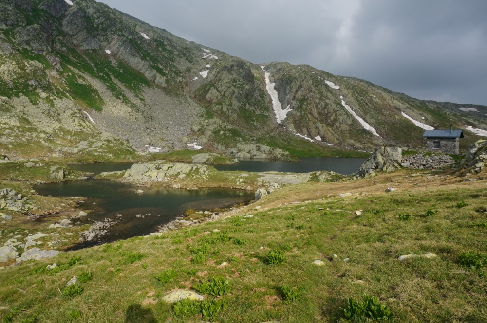
This is one of the most attractive and varied pass hikes in Central Switzerland. From Melchsee-Frutt (1900 m)the path below the Titlis leads us along four picturesque lakes over the Jochpass (2200 m) to the Trüebsee and then down to Engelberg (1000 m). From Engelberg we’ll take the train through deep valleys, forests and along Lake Lucerne to Lucerne. Hiking time: 6-7hrs .
Bannalper Schonegg and Chaiserstuel:
This special tour takes us from the mountain station Chrüz (1700 m) over the Bannalper Schonegg ridge (2250 m), with a short detour to the Chaiserstuel (2400 m), then down to St. Jakob (1000 m) to the Lake of Uri. The ridge is one of the most attractive transitions from the Engelberg Valley to the Lake of Uri. Hiking time: 5-6hrs.
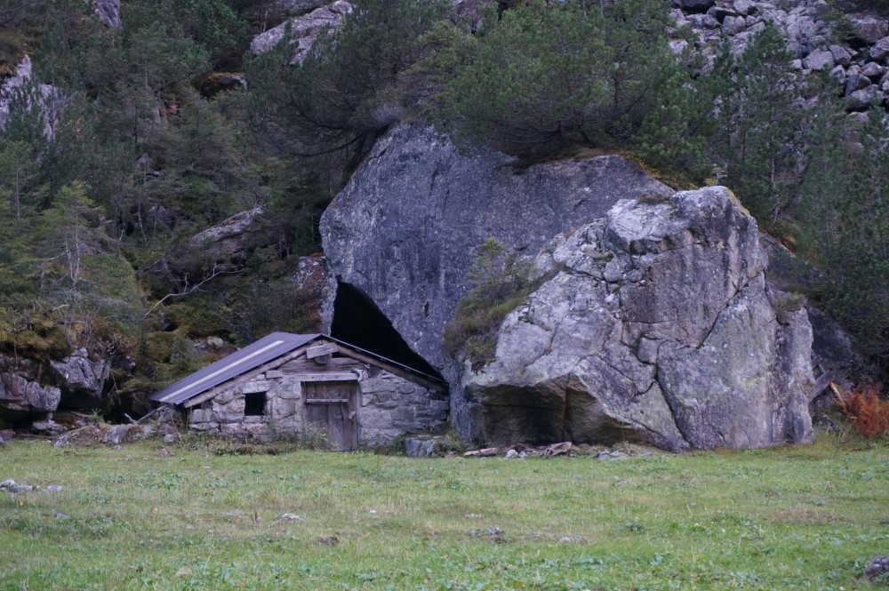
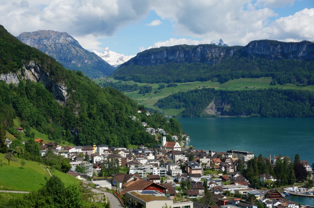
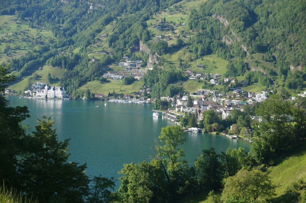
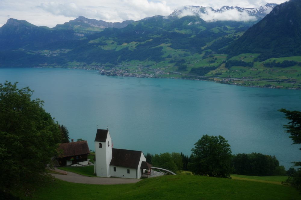
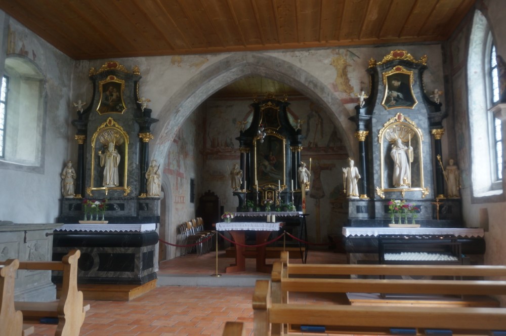
Around Küssnacht am See:
The name became world famous mainly through Schiller's “William Tell”. Bailiff Gessler came through this Hohle Gasse (hollow alley). The national hero William Tell, had set a trap for the Bailiff. The highlights of our entertaining hike east of Küssnacht will be the Gesslerburg and the Hohle Gasse. Hiking time: 3/3.5hrs. hrs.
SunnigGrat:
This hike runs in a wild and romantic landscape high above the Reuss valley from the lovely Arnisee (1400 m) up to the Sunniggrätlihut (2000 m). From the unbelievable view down into the Reuss Valley and to the Lake of Uri. It will leave ourselves filled with emotion. The cable car from the valley village of Intschi will takes us back from our starting point of our hike. Hikingtime: 4-5hrs.
Variation:
If we feel like hiking up from the valley village to the Arnisee, we need an additional 2 hours.
SwissPath:
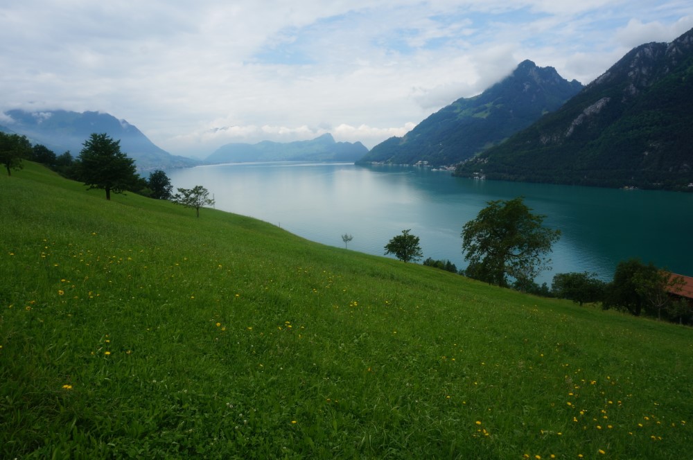
This leads us from the Rütli via Flüelen around the Lake of Uri to Brunnen. The interesting and entertaining route crosses both the shallow shores and the ascending mountain slopes of the Lake of Uri. Sometimes we are adventurous on our way over steps carved into the rocks, sometimes on pleasant paths past resting and bathing places. Don't forget to bring your swimsuits.
Intermediate Day Hikes:
Brisen:
From Dallenwil (500 m) we’ll take the cable car up to the monastery Niederrickenbach (1200 m). From there we’ll hike over gentle alp meadows to the Brisenhaus and on to the Steinalper Jochli then over the Glattgrat up to the summit pyramid of the Brisen (2400 m). After enjoying the fabulous panorama we’ll descend over the Haldigrat and via Alpboden back to Niederrickenbach. Hikingtime: about 7 hrs.
Buochserhorn:
This beautiful round tour runs from the Niederrickenbach Monastery (1200 m) over alpine terrain, along forests to the green mountain cone above Stans to the Buochserhorn (1800 m). On the way we are accompanied again and again by views into the beautiful Engelberg Valley. The view from the summit into the depths is exciting. In almost every direction you can see parts of Lake Lucerne and the surrounding mountain peaks. The way back to the monastery will lead us over safe ridges, green cow pastures and wide paths. Hikingtime: about 5 hrs.
Stanserhorn:
This is the local mountain of Stans and along with the Rigi and the Pilatus, is one of the most famous panoramic mountains in Central Switzerland. The Stanserhorn (1900 m) with its famous revolving restaurant can be reached easily by cable car or via various hiking trails from Stans or Wirzweli (1200 m) in 3 hours. The panoramic view of the summits over the glacier-covered high Alps in the south and the many lakes of the midlands is absolutely phenomenal. We‘ll spend the decend either in the cablecar or on well-developed hiking trails over alpine pastures and through shady forests down to Stans (450 m). Hikingtime: 6-7hrs.
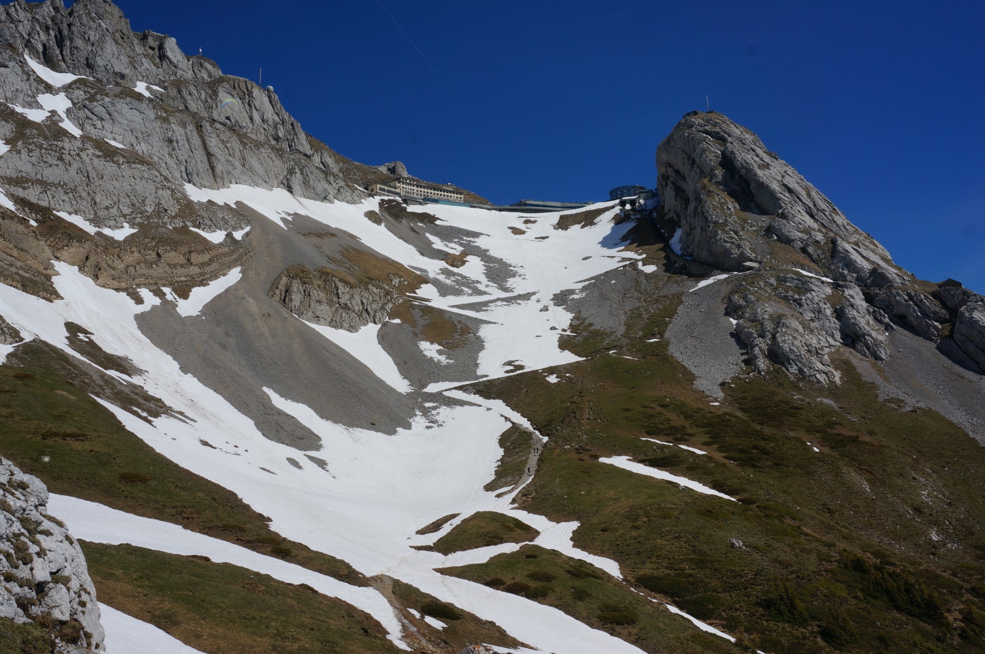
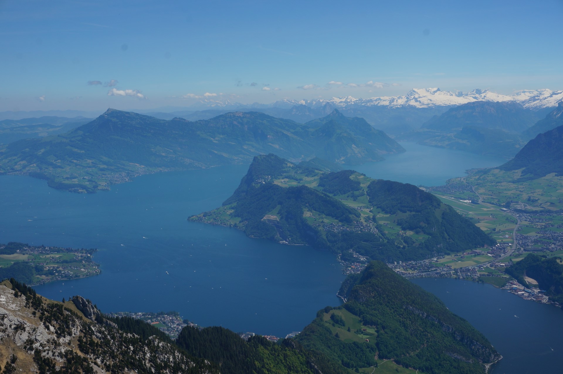
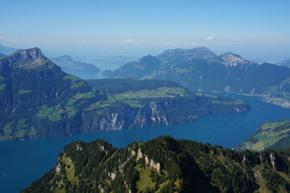
Rigi-Kulm:
One of the most famous mountains in Switzerland with its world famous 360° panoramic views, is definitely the Rigi. As early as 1863, the English travel pioneer Thomas Cook first lead a group on mountain paths up the Rigi (1800 m), the highest point of this mountain range. There weren’t any mountain rail lines at that time. We will not be taking the same route as Thomas Cook did then, but the exciting northern route which will lead us in 3.5hrs. from Küssnacht (450 m) up to Seebodenalp, further up to the far visible rock bands of the northside, to the Rigi-Staffel (1600 m). Half an hour later we’ll arrive in Rigi-Kulm.
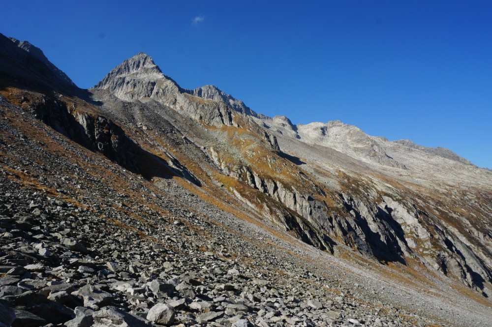
Rophaien:
The Rophaien (2100 m) towers over the Lake of Uri at Flüelen. We’ll start in the small village of Riemenstalden (1030 m). A path runs through the forest along some hairpin bends to the huts of Alplen and to the small dreamy Alpler lake. The lake, romantically embedded between green pastures, trees and craggy cliffs, is a jewel of the foothills of the Alps and one of the prettiest places to linger. After a 3 hour ascend to the summit, we’ll by rewarded by an incredible panoramic view. After the well-deserved rest we‘ll start our descend back to Riemenstalden.
Chlingenstock-Fronalpstock Ridge Hike:
Between Brunnen and Sisikon, with dense forest areas and wide rock face bands, the Fronalpstock (1900 m) rises almost vertically above the Lake of Uri. If we do not want to take the chairlift Stoos-Chlingenstock, we’ll reach the Chlingenstock (1900 m) in a 2-3hour hike. From this panoramic mountain to Fronalpstock (1900 m) begins one of the most beautiful tightrope walks in Central Switzerland. Along this trail we’ll have a breathtaking view of the mountains and lakes of Central Switzerland. What a pleasure! From Fronalpstock we descend over alpine pastures back to the summer health resort of Stoos, our starting point of our hike. Hikingtime: 5 - 6 hrs.
Easy to moderate 2-day hikes with overnight stay in mountain huts
Oberrickenbach - Bannalp – Brisen hut - Klewenalp - Beckenried
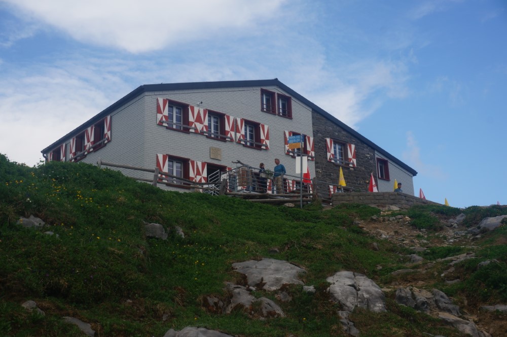
From the mountain station Chrüz (1700 m) you go down to Schwand and up to the Sinsgäuer Schonegg (1920 m) and further down into the Sulz valley to Gitschenen (1770 m). At the top station of the Gitschenen cable car, the trail continues to the Brisen hut (1750 m), our overnight stop. On the second day we hike leisurely down to Klewenalp (1590 m). Here we enjoy the breathtaking views of Lake Lucerne and the mountains of Central Switzerland before the cable car takes us to Beckenried. Hiking time: 1st day, 5 - 6 h, 2nd day, 3 - 4 h.
Engelberg – Rugghubel hut - Oberrickenbach
From the Engelberg-Ristis mountain station we climb up and past the Teufelsstein, to Planggenalp and the lovely Nonnen-Seeli. Shortly after, we arrive at the Rugghubel hut (2290 m), where we spend the night. The next morning the trail leads over the Schlossstocklücke to the Bannalper Schonegg (2250 m) and further to the Chaiserstuel summit. Below the Bietstöcken down over beautiful meadows, we catch sight of Urnerstaffel and Bannalp lake. Hiking time: 1st day 3.5 - 4.5 h, 2nd day, 3 - 4 h.
Furen in the Gadmental - Windegg huts - Furtwäng saddle - Guttannen
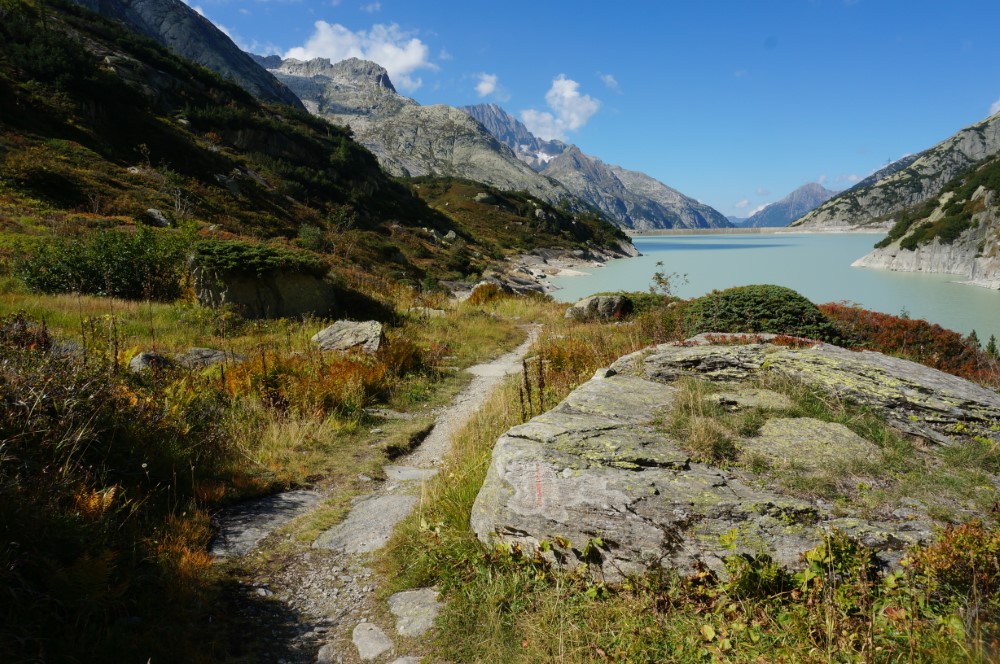
Starting point of the hike is the post bus stop "Gadmen, Fuhren" on the Susten pass road. The alpine path leads us high through the Schaftellaui forest to the Underi Trift up to the mountain station of the Trift cablecar, which is surrounded by a wild and romantic mountain scenery. Not far from here we meet the Windegg huts (1890 m), which offer us shelter for the night. On the second day the path leads us into the Trift valley, past the Tälli lake up to the Furtwäng ridge (2570 m). There, overwhelming views into the upper Haslital and Grimsel region await us. On the other side of the ridge we hike leisurely down to Holzhüsalp and further through meadows and forests to Guttannen. Hiking time: 3 - 4 h, 2nd day, 5 - 6 h.
Rueras - Val Mila - Etzli hut - Chrüzlipass - Rueras
The start of the hike is the stop Rueras (1450 m). We hike up the Val Mila past the hamlet of the same name to the pass Mittelplatten (2490 m), the highest point of the hike. If time and season permit, a detour to the beautiful Lai della Stria (Witches' Deli) could be made before crossing the pass. The path on the north side of the pass leads largely over scree slopes to the Etzlihütte (2050 m), where we spend the night. Those who have their swimming trunks with them can relax in the hot water of the hut hot tub. The following day we hike on narrow paths eastwards over the Chrüzlipass (2450 m) into the untouched Val Strem. We continue along the river to Sedrun or Rueras. Hiking time: 4 - 5 h, 2nd day, 4 - 5 h.
Erstfeld - Krönten hut - Erstfeld
From Erstfeld we take the cable car up to Wilerli. From here we hike along the beautiful Sunnigtäler path and the Höhen path to Bögli, Alp Matt, Hoch Biel to Fulen lake. If the water is warm enough for you, you will find a refreshing cooling in the Fulen lake. Beautifully the Krönten hut (1900 m) with its stone walls adapts to its natural surroundings. In this hut we spend the night. It is located in a unique high moor landscape. Together with the Fulen lake, this is one of the most pristine and diverse moors in Switzerland. The lake was formed only 150 years ago, after the glacier had retreated. Hiking time: 4.5 - 5.5 h, 2nd day, 3 - 4 h.
Gorezmettlen – Sewen hut - Gorezmettlen
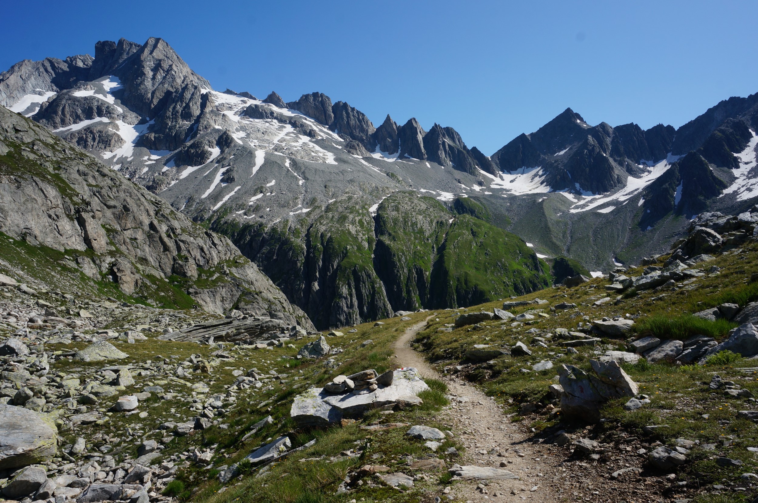
In this region we hike in the magnificent and grandiose scenery of the Uri Alps. The approach to the hut is at Gorezmettlen on the Susten pass road. The Sewen hut (2150 m), where we spend the night, is enthroned on the right, sunny terrain terrace of the Meien valley. From here, the magnificent view extends over the Fünffingerstöck, the Grassen to the Susten pass summit. In the afternoon we hike to Sewen lake and Sewenalp, which lie in an idyllic basin surrounded by peaks and ridges. From there the path leads back to the hut. In the course of the next day we follow the upward route back to Gorezmettlen, where the post bus brings us back closer to the Unterland. Hiking time: 4.5 - 5.5 h, 2nd day, 2.5 - 3.5 h.
Göscheneralp - Chelenalp hut - Göscheneralp
From the Göscheneralp (1700 m) the path leads first over a short ascent and then about 5 km slightly ascending along the northern side of the Göscheneralp lake to the Chelenalp valley to the hut of the same name. The first settlement of the Göscheneralp dates back to the 17th century. This is how the village and the church came into being, which was the highest permanent settlement in the canton of Uri for 300 years. In 1870, 6 families, i.e. a total of 38 persons lived on the Hinteralp and 48 persons lived in the Gwüest. Some change and additional income was brought by the pioneer period of alpinism that started in the 19th century. The following day we hike to the end of the reservoir, where we take the southern lake path to the Göscheneralp. Hiking time: 4 - 5 h, 2nd day, 3.5 - 4.5 h.
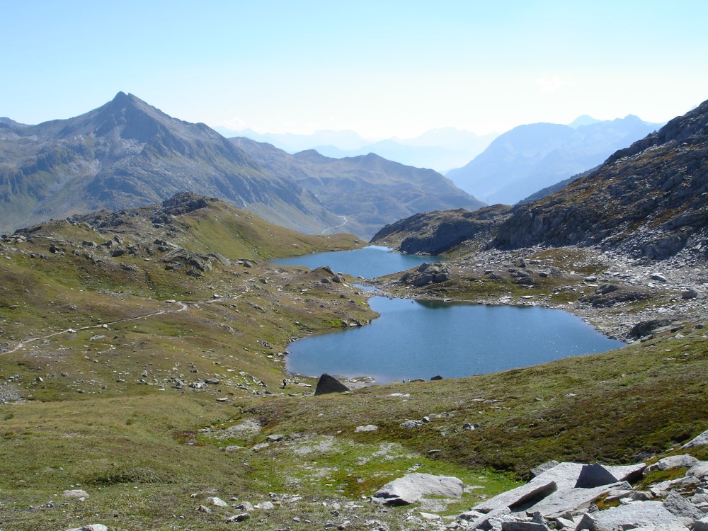
Intschi – Arni lake – Leutschach hut - Sunniggrat - Arnisee
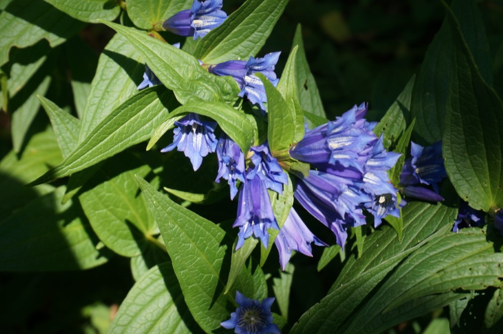
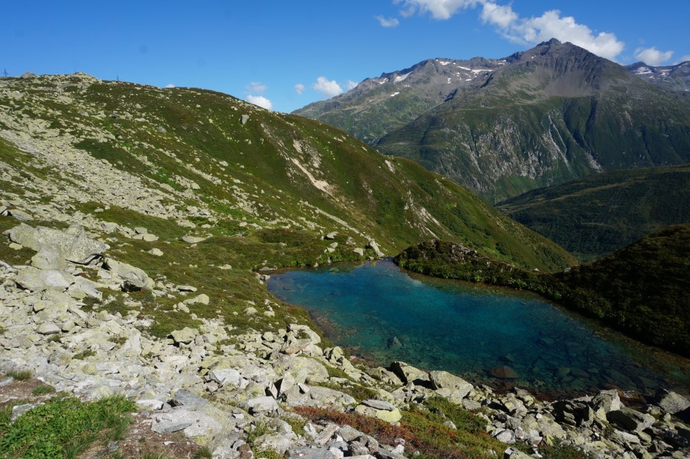
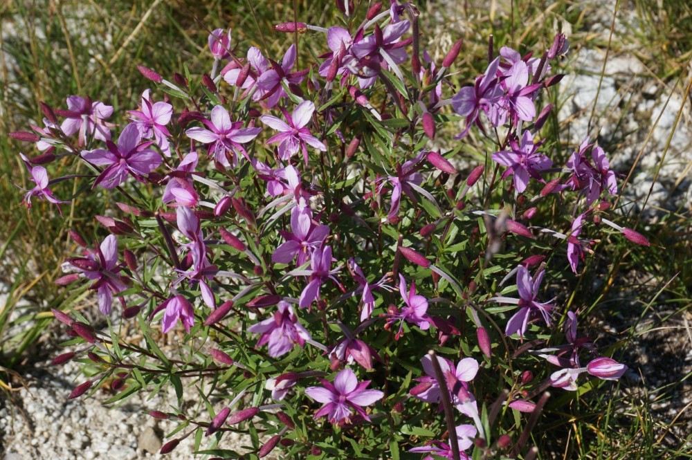
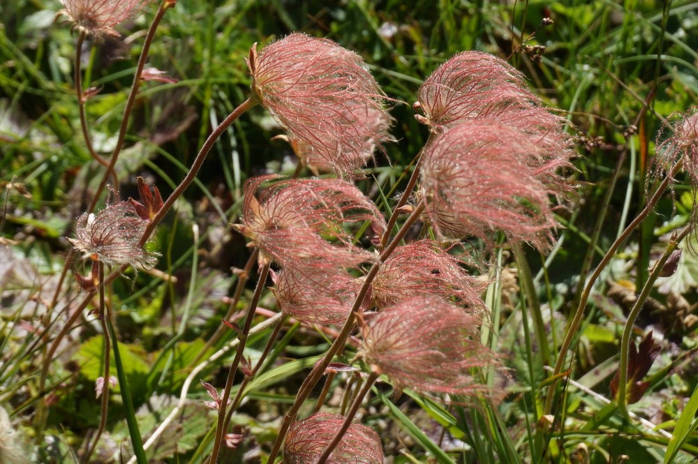
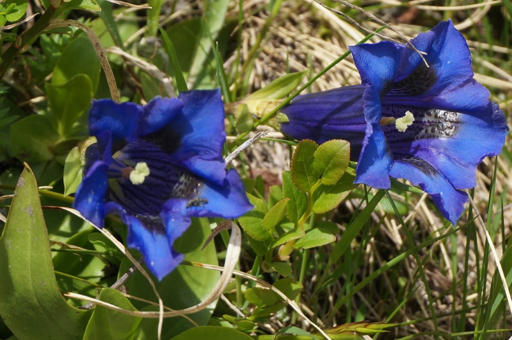
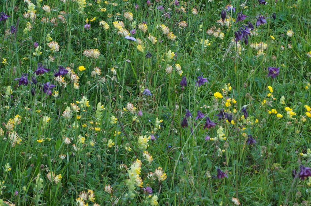
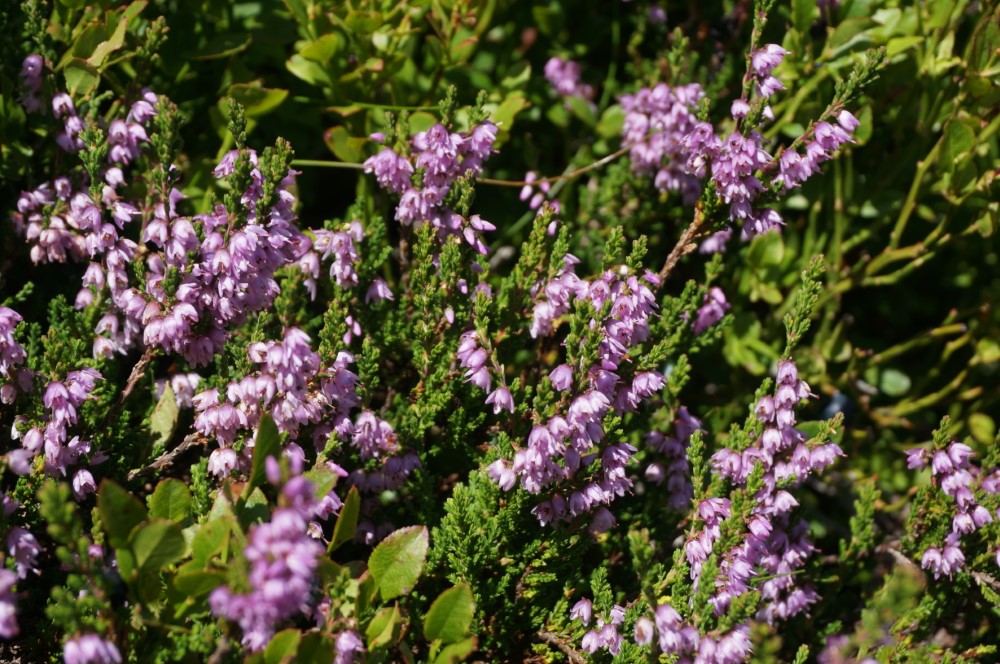
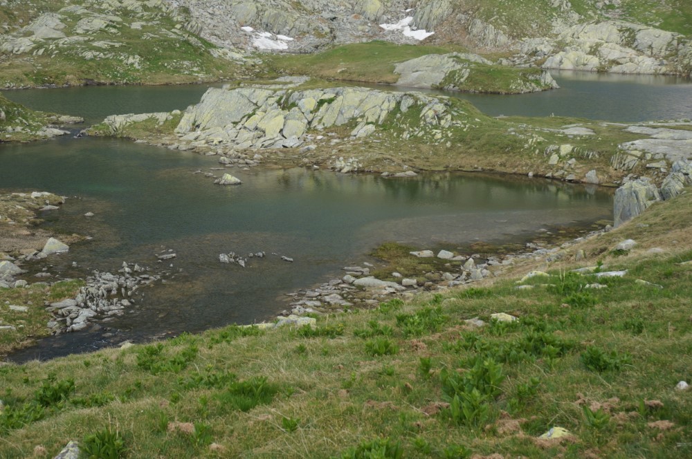
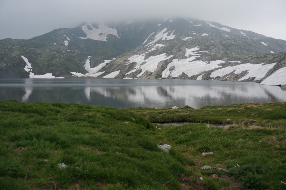
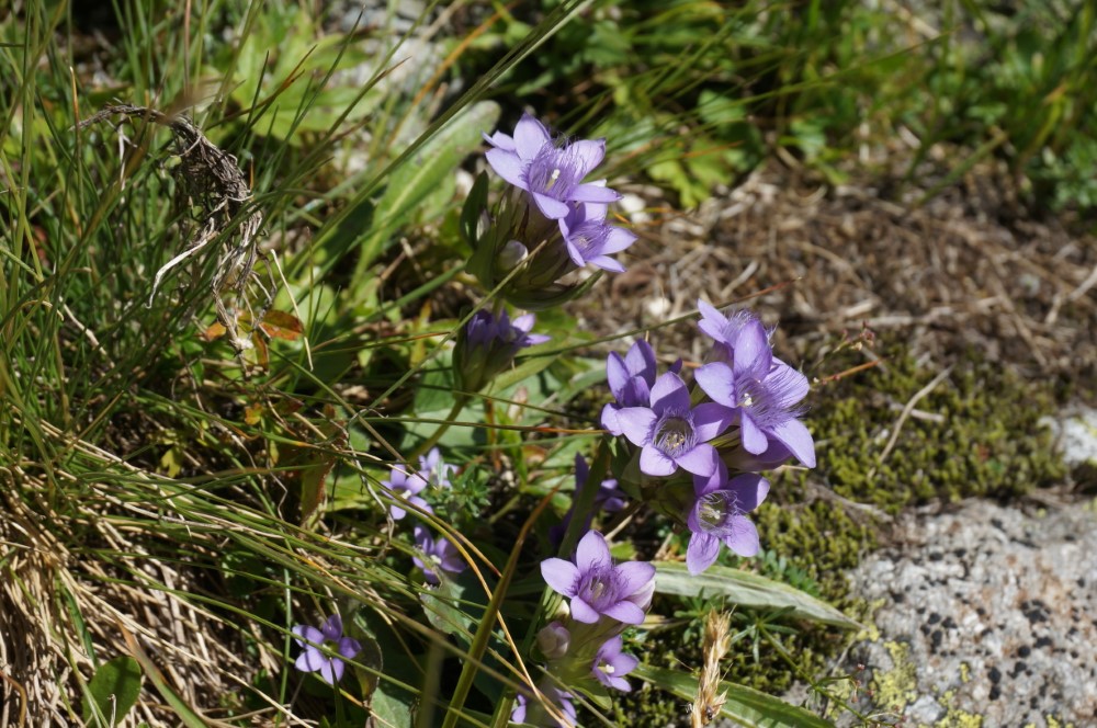
From the Arni lake (1370 m) we follow the mountain path up in western direction. We cross the Leutschach stream, past the Furt alp and reach the turquoise blue Nidersee lake on a zig-zag path. Along the hut trail we find information about flowers and animals from the local mountain world. Depending on the season, we encounter blooming anemones, alpine roses and gentians. Also marmots, chamois and ibex can be observed, which sometimes stay near the hut. We start the second day with a delicious hut breakfast. Via a pleasant high-altitude path we approach the Sunniggrat (2030 m) with its magnificent panoramic view of the Central Swiss Alps. From the Sunniggrat hut we hike first across a flat moor and later downhill through a mountain forest back to the picturesque Arnisee. Hiking time: 2.5 - 3.5 h, 2nd day, 3.5 - 4.5 h.
Andermatt – Vermigel hut - Maighelspass - Oberalp Pass
From Andermatt we hike through the Unteralp valley to the Vermigel hut, where we will spend the night. In former times the hut served as military accommodation and was later given to the SAC for use and maintenance. The next day leads us over serpentines up the mountain past the tiny Maighels lake to the Maighels pass. After a short descent into the Maighels valley we hike past the Maighels hut and down into a long hollow up to the Oberalp pass. Hiking time: 2.5 - 3.5 h, 2nd day, 4 - 5 h.
Göscheneralp – Damma hut - Göscheneralp
Above the Göscheneralp (1790 m) a direct path leads us through a rarely beautiful moor area. From there we hike further west along the slopes and meadows of the Göscheneralp lake. At the end of the lake we cross the Chelenreuss and a little later the Dammareuss. From the second bridge, a panoramic path leads steadily uphill to Damma-Stäfeli and further on via the usual ascent route to the Damma hut (2440 m). In this small but guarded hut we spend the night. The following day we hike on the ascent route down to the Dammareuss bridge. At this fork in the path we keep to the right side of the lake and hike further east in the overgrown slopes of Höhenberg and Älpergen. At the end of the lake we cross the dam back to the starting point of our hike, the Göscheneralp. Hiking time: 3 - 4 h, 2nd day, 2.5 - 3.5 h.
Bristen - Etzli hut - Val Mila - Rueras
In Bristen (770 m) the hiking trail starts and climbs in serpentines up through the forest, with the sound of the stream constantly in your ears, up to 1080 m, where we cross the Etzli stream a second time via the Sagebrüggli. Thus we reach the path into the Etzli valley to the Etzliboden. We continue via Rossboden and Gulmen to the Etzli hut (2050 m), where we will camp for the night. The day after we will hike to Müllersmatt and further up to the Mittelplatten crossing (2490 m). If time, conditions and fitness allow, we can make a detour below the pass on the Val Mila side to the beautiful Lai della Stria (witch lake). Without this detour we continue down to Val Mila, to the hamlet of Mila. There the path joins a road that leads us down to Rueras. Hiking time: 4 - 5 h, 2nd day, 4 - 5 h.
Golzernsee – Windgällen hut - Stäfel - Bristen
From the top station of the Golzern cable car (1400 m) we follow the flat path in the direction of Golzeren lake. From Seewen the hike leads us steadily uphill over pasture land and through forest, later through open terrain on an easily passable mountain path to the Windgällen hut (2030 m), where we spend the night. The next day we leave the Windgällen hut via the longer path via Tritt to the Hotel Maderaner valley. A harmless but winding descent to Saasalp follows. At the vantage point we enjoy again the view towards the glacier. Through wild landslide terrain and scenic cow pastures we reach the mountain hotel Maderaner valley, Balmenegg (1350 m). From here we hike along an alpine road parallel to the Maderaner creek down to Bristen. Hiking time: 2.5 - 3.5 h, 2nd day, 4 - 5 h.
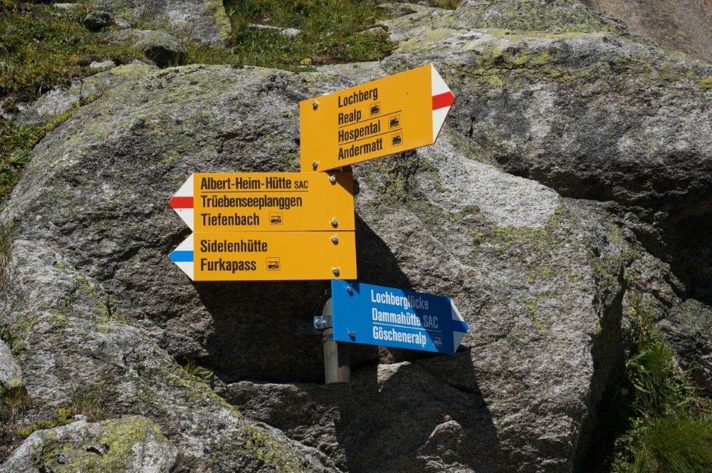
Realp - Albert-Heim-Hut - Tiefenbach
The starting point for our hike to the Albert-Heim-Hut is the train station in Realp (1540 m). A hiking trail winds its way up through alpine meadows, blueberry bushes and forest until we reach the beautiful plateau of the Lochberg. We follow it deeper and deeper into the valley basin and at the end we hike up the ridge of the valley basin. On the right hand side is the newly built Albert-Heim-hut (2540 m), where we admire the view and the starry sky before we retire to the hut. The following day we descend the rocky pulpit to the Lochberg creek. The path leads over smooth rounded humps and through grassy sections to Saasegg and to Gspenderboden. Thus we continue hiking on the Urschner Höhen path to Tätsch (1700 m) and Tiefenbach. Hiking time: 3 - 4 h, 2nd day, 1.5 - 2.5 h.
Muothathal – Liderner hut - Alplensee - Riemenstalden
A gentle ascent leads us from Muotathal over the pass to Höchi. Crossroads and chapels accompany us through the wild and romantic valley to the Liderner hut (1727 m). Here we stay for the night. The following day, an easily accessible path leads us from the hut to the Alplensee (1500 m). The lake, which has no inflow or outflow, is a jewel of the pre-alpine landscape. From here we hike downhill past the huts of Alplen along forest paths to Riemenstalden (1030 m). The Riemenstalder Valley is known for its unique flora. Hiking time: 3.5 - 4.5 h, 2nd day, 3 - 4 h.
Göschenen - Salbit hut - Regliberg - Göschenen
From the Göschenen train station (1110 m) we follow the markings on the well-maintained mountain trail, which takes us through the wooded slopes, steadily ascending through the Schwändi forest, the Chüeplangge, the Harten Plänggli and the Salbitstafel to the Salbit hut (2100 m). Here we spend the night. The name Salbiten is derived from lat. silva (forest). In this landscape Roman traces of the pre-Alemannic period have been found, which tell of the former high forest. The next day we continue our hike via Grubenseeli through a colorful landscape interspersed with larches, before we reach Regliberg (1680 m) where we enter the fir forest. Here we meet the ascent route, on which we hike back through the wooded slopes down to Göschenen. Hiking time: 4 - 5 h, 2nd day, 3.5 - 4.5 h.
")
")